
Coastal Observatory
Observation
Observation of coastal dynamics is essential to carry out integrated management and sustainable development of coastal areas, sustainable use of their resources and protection of the marine environment and its diverse and productive habitats, which are necessary to deal with the main uncertainties. derived from climate change.
In order to have a better knowledge of the coastal strip, the Xunta of Galicia, through different departments, is taking measurements of the environmental variables that have helped in the management of coastal resources and habitats for more than thirty years.
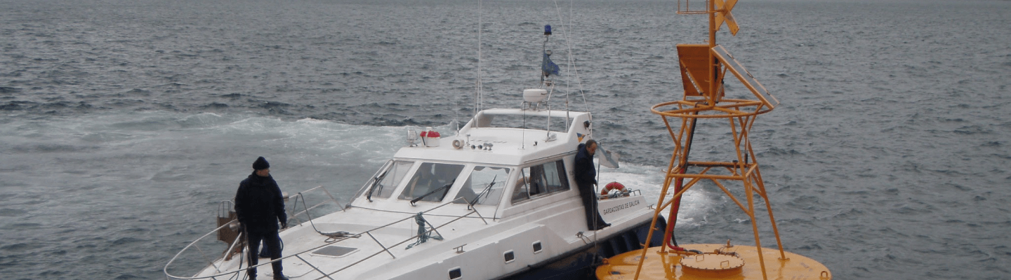
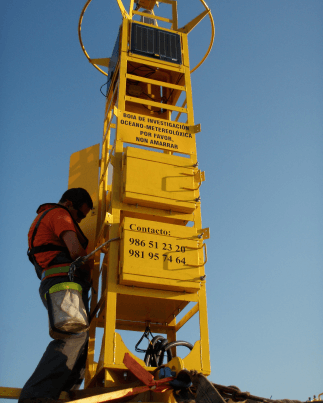
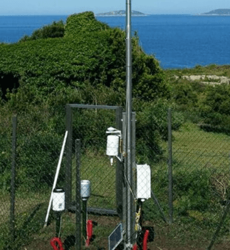
Automatic platforms
These infrastructures collect continuous measurements of water temperature, salinity, currents and meteorology: temperature, wind and humidity, which are transmitted and distributed in real time.
The Observatory currently has the following stations:
- Cortegada Trough (2007): its first use was to warn of strong drops in salinity that could affect the shellfish resources
- Rande platform (2007)
- Cíes buoy (2008)
- La Guardia buoy (2010)
- Ribeira buoy (2011)
- Muros buoy (2015)
HF radar external network
Based on the Doppler Effect, it is able to generate maps of surface currents from a distance. Since 2012, current maps up to 100 miles have been produced: they cover the Finisterre traffic separation scheme through which more than 40,000 ships pass annually and are therefore useful for sentinel monitoring.
To create these current maps, at least two antennas are required. In collaboration with Ports of the State and the Portuguese Hydrographic Institute, five antennas are combined to create a single map covering the entire west coast of Galicia.
- Prior (Intecmar, 2012)
- Vilán (Intecmar, 2012)
- Finisterre (Ports of the State)
- Silleiro (Ports of the State)
- Leça da Palmeira (IHPT)
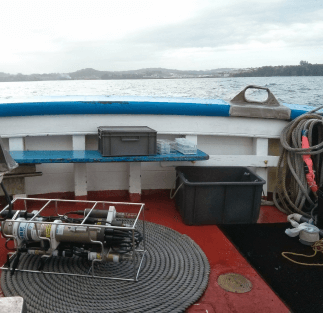
Sampling network at oceanographic stations
Composed of 43 stations in the Rías Baixas and the Gulf of Ártabro where, weekly, vertical profiles are obtained from the surface to the bottom of temperature, salinity, conductivity, oxygen, fluorescence, pH, transmittance, irradiance and density.
The data take into account the dynamics of the estuaries, helping to detect toxic microalgae blooms.
This network has been in existence since 1992: with more than 50,000 profiles, it will be 30 years old in 2022, making it one of the longest series in the world.
Weather station network
More than 25% of the 160 stations of the Galician Meteorological Network are actually on the coast. These stations collect measurements of wind, temperature, humidity, precipitation, pressure and radiation, transmitting these data in real time. This information is necessary for any diagnosis of the sea state.